
Tuesday (13/6/2023), the Department of Geodesy Engineering, Faculty of Engineering Undip held a Guest Lecture with the National Research and Innovation Agency (BRIN) Remote Sensing Research Center (PRPJ) in R. Theatre, Dean Building Lt. 4, Undip Faculty of Engineering by presenting Dr. Rahmat Arief, Dipl-Ing, as the Head of the BRIN Remote Sensing Technology and Data Center as a speaker at the event. The theme was ” State of the Art of Remote Sensing Technology in Monitoring Land Cover Changes and Climate Change.”
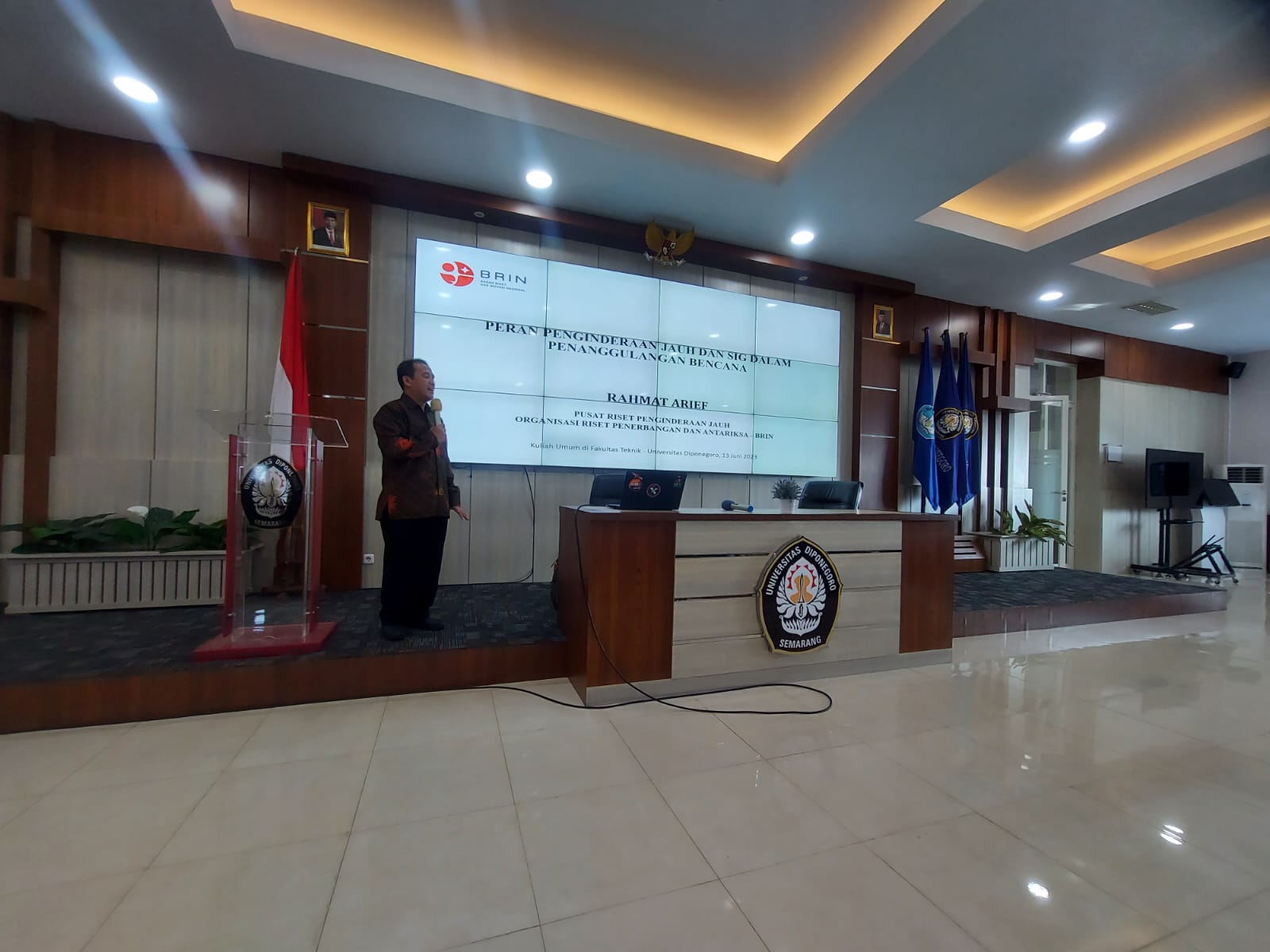
Presentation from Dr. Rahmat Arief (Credit: Dandy Aditya, BRIN, 2023)
The event was opened with remarks from the Head of the Department of S1 Geodesy Engineering, Dr. LM Sabri, ST, MT. He expressed his gratitude to PRPJ BRIN for being willing to give a public lecture at the Faculty of Engineering. He hoped this event could increase scientific insight, especially for Study Program students Undip’s Bachelor of Geodesy Engineering, and be the beginning of research collaboration between educational institutions and BRIN to produce better quality education, research, and community service.
This is in line with what was conveyed by the Dean of the Faculty of Engineering, Prof. Ir. M. Agung Wibowo, MM, M.Sc., Ph.D., that through the Independent Learning Campus Merdeka (MBKM) program it can be a means for students to develop knowledge outside their study program. He hopes that the presence of PRPJ BRIN at the Faculty of Engineering can provide an overview. In the future, students can take advantage of the opportunities available in the MBKM program to undergo internships at PRPJ BRIN, which are still linear with their education field.
This event was attended by more than 100 participants from students, lecturers, and practitioners interested in the latest developments in remote sensing and climate change. The material presented included the theoretical basis of remote sensing, the development of remote sensing, a summary of the number and occurrence of disasters in Indonesia, and the role and examples of remote sensing applications in disaster management. In addition, Dr. Rahmat Arief, Dipl-Ing, also explained the various innovations carried out by BRIN in the form of disaster management applications and BRIN’s flagship programs in the research sector.
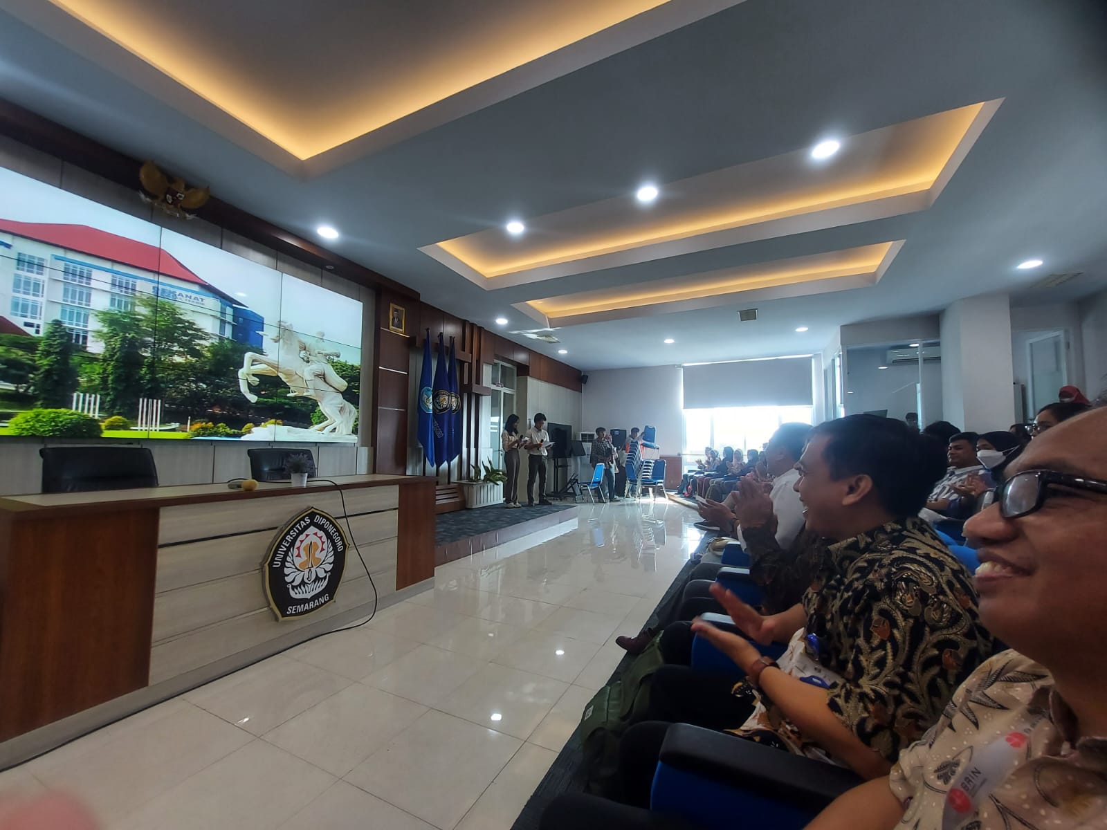
The participants of the guest lecture (Credit: Dandy Aditya, BRIN, 2023)
The event’s ending was even more interesting with Dr. Rahmat Arief, Dipl-Ing, who provided opportunities for students present to convey their research ideas or research using remote sensing techniques. Students enthusiastically welcomed this by participating in sharing their research ideas, including those related to carbon stock estimation, flood prevention, and changes in land cover to land subsidence. Through this event, Dr. LM Sabri, ST, MT, hopes that students can increase scientific insight and broaden their understanding regarding the importance of remote sensing applications or applications through direct discussions with experts related to the fields they are studying to spur enthusiasm and motivation of students to continue innovating.

