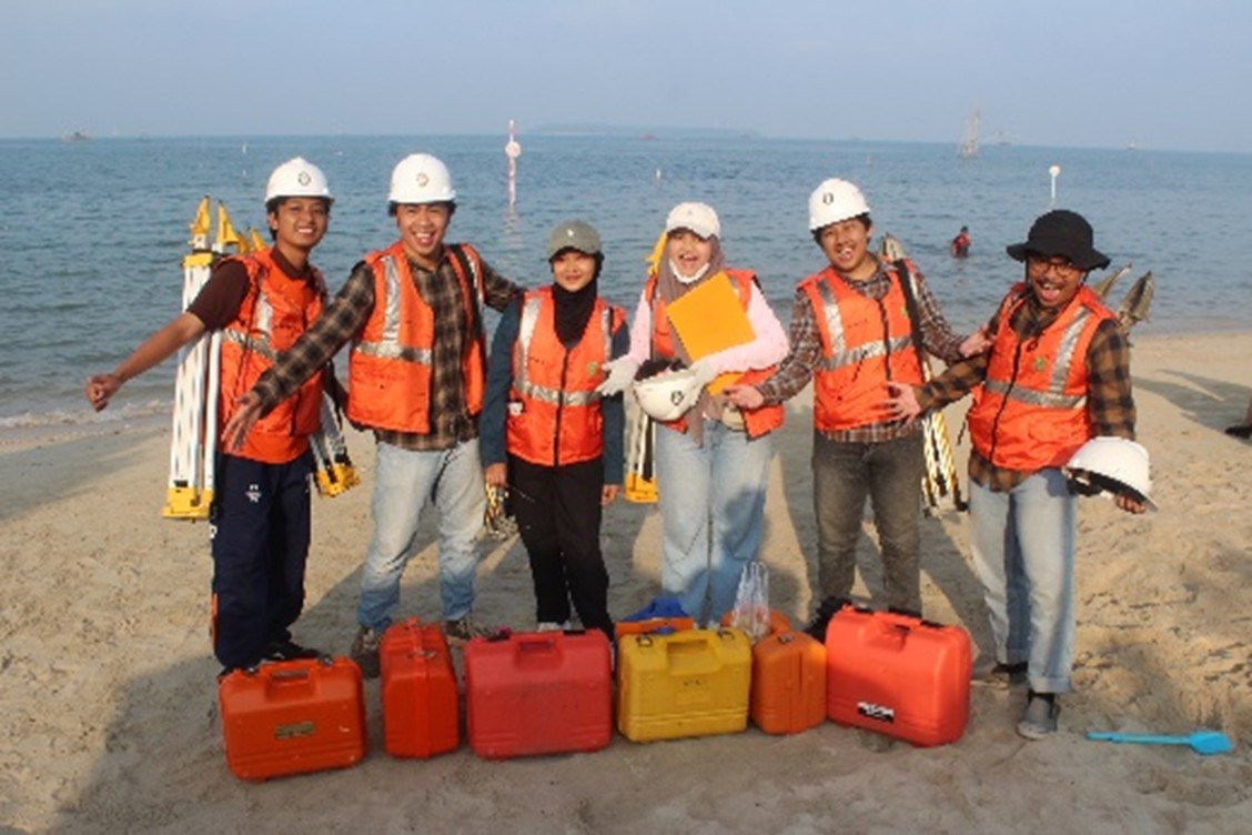
As part of its commitment to preparing graduates for the professional world, the Department of Geodetic Engineering, Faculty of Engineering, Universitas Diponegoro dedicate to equip students with hands-on skills in operating surveying and mapping instruments. The Hydrographic Survey II practicum, a component of the sixth-semester course, was held from May 3 to 9, 2025, in the coastal area of Prawean Beach, Jepara Regency, Central Java. This practicum not only focused on the introduction and use of hydrographic survey instruments but also emphasized the integration of seabed bathymetry measurements with vertical and horizontal control network surveys, along with coastal mapping using Unmanned Aerial Vehicles (UAVs).
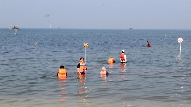
More than 140 students participated in the activity, under the direct supervision of Mr. Arief Laila Nugraha, S.T., M.Eng., and Mr. Bandi Sasmito, S.T., M.T. To support the practicum, the department provided 6 geodetic GNSS receivers, 10 total stations, 2 digital theodolites, 4 digital levels, and 2 drones for aerial photo acquisition. For the control network measurements, students utilized the Jepara CORS station (CJPR), accessed through the official website of the Geospatial Information Agency (BIG): www.srgi.big.go.id. For sea bed measurement and shoreline delineation, students also installed sounding poles and accessed tidal data from the BIG website. The department’s consistent use of BIG data reflects its support for the implementation of the One Map Policy. In recognition of this, the department received an award in 2024 as the most active user of tidal data from BIG.
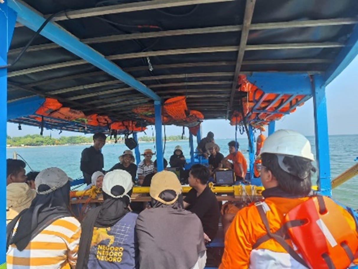
This year’s practicum was supported by PT. Geotronix Pratama Indonesia, PT Atlas Geosains Indonesia, and Two Rich Hotel. PT. Geotronix Pratama Indonesia provided a Singlebeam Echosounder and delivered comprehensive training covering equipment installation on the survey boat, sounding operations, and data processing. PT Atlas Geosains Indonesia and Two Rich Hotel contributed financial support and accommodation for the practicum. This collaboration highlights the strong synergy between academia and industry in developing skilled and competitive human resources.
The entire series of activities in the Hydrographic Survey II practicum aimed not only to collect spatial and bathymetric data of the Prawean coastal area but also to provide students with real-world experience in applying theoretical knowledge. Students were trained to work in teams, surveying operations, and handle various field challenges such as weather conditions, coastal environmental dynamics, and overcome both technical and non-technical obstacles.