
In an effort to strengthen national food security, the President of the Republic of Indonesia, General (Ret.) Prabowo Subiyanto, has set a target to achieve food self-sufficiency within the next 4 to 5 years. One of the strategic measures is the development of food estates across various regions to achieve a total of 3 million hectares nationwide. Agricultural land expansion, particularly rice fields, requires improved irrigation system performance to ensure optimal water distribution.
The development and management of irrigation systems in Indonesia fall under the responsibility of the Ministry of Public Works and Housing (PUPR), involving various levels of government, from the central to the regional levels. Based on PUPR Regulation No. 12/PRT/M/2015, irrigation performance assessment encompasses six key indicators: (1) physical infrastructure (45%), (2) crop productivity (15%), (3) supporting facilities (10%), (4) management organization (15%), (5) documentation (5%), and (6) P3A/GP3A/IP3A (10%). Traditionally, these assessments rely on field observations, which are time-consuming and costly.
To address these challenges, the World Bank has developed an innovative method for rapid and accurate irrigation performance assessment using remote sensing technology. World Bank water resources specialist Ijsbrand H. de Jong, in collaboration with Mutlu Orzogan, Ph.D., from the University of Wisconsin-Madison, has initiated a pilot project that assesses irrigation performance based on Landsat satellite data and weather satellite analysis using time series. The assessment focuses on uniformity and reliability criteria, derived from NDVI (Normalized Difference Vegetation Index) values. To ensure accuracy, the World Bank collaborated with UNDIP Geodetic Engineering Department faculty members Dr. Firman Hadi, S.Si., M.T., and Dr. L. M. Sabri, S.T., M.T., to conduct field validation in the Klambu and Glapan irrigation areas of Grobogan Regency.
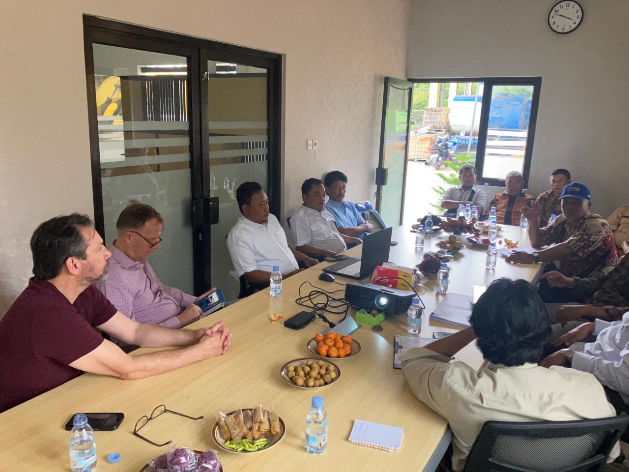
Discussion of World Bank Team to Group of Water User Farmers at Klambu and Glapan Irrigation area
To refine the implementation, representatives from the World Bank visited the Faculty of Engineering, Universitas Diponegoro (UNDIP), on Monday, January 22, 2025, to explore opportunities for collaboration in the Tridharma Perguruan Tinggi (Three Pillars of Higher Education). In the future, collaboration in the field of teaching could take the form of knowledge-sharing programs for irrigation stakeholders, including government institutions and irrigation service users. Prof. Ir. Nita Aryanti, S.T., M.T., Ph.D., IPM, Vice Dean for Academic Affairs and Student Affairs at the Faculty of Engineering, welcomed the World Bank team during their visit and expressed her hopes that faculty members from the Department of Geodetic Engineering and other departments could engage in research and community service collaborations. These collaborations aim to develop irrigation performance assessment methods from Klambu and Glapan that can be applied to other irrigation areas across Indonesia. The primary goal of this initiative is to provide nationwide irrigation performance information to support continuous improvement and accelerate the achievement of food self-sufficiency. Prof. Ir. Nita Aryanti, S.T., M.T., Ph.D., IPM, also emphasized that the Department of Geodetic Engineering should optimize its laboratories to support irrigation performance assessments and monitor agricultural land productivity.
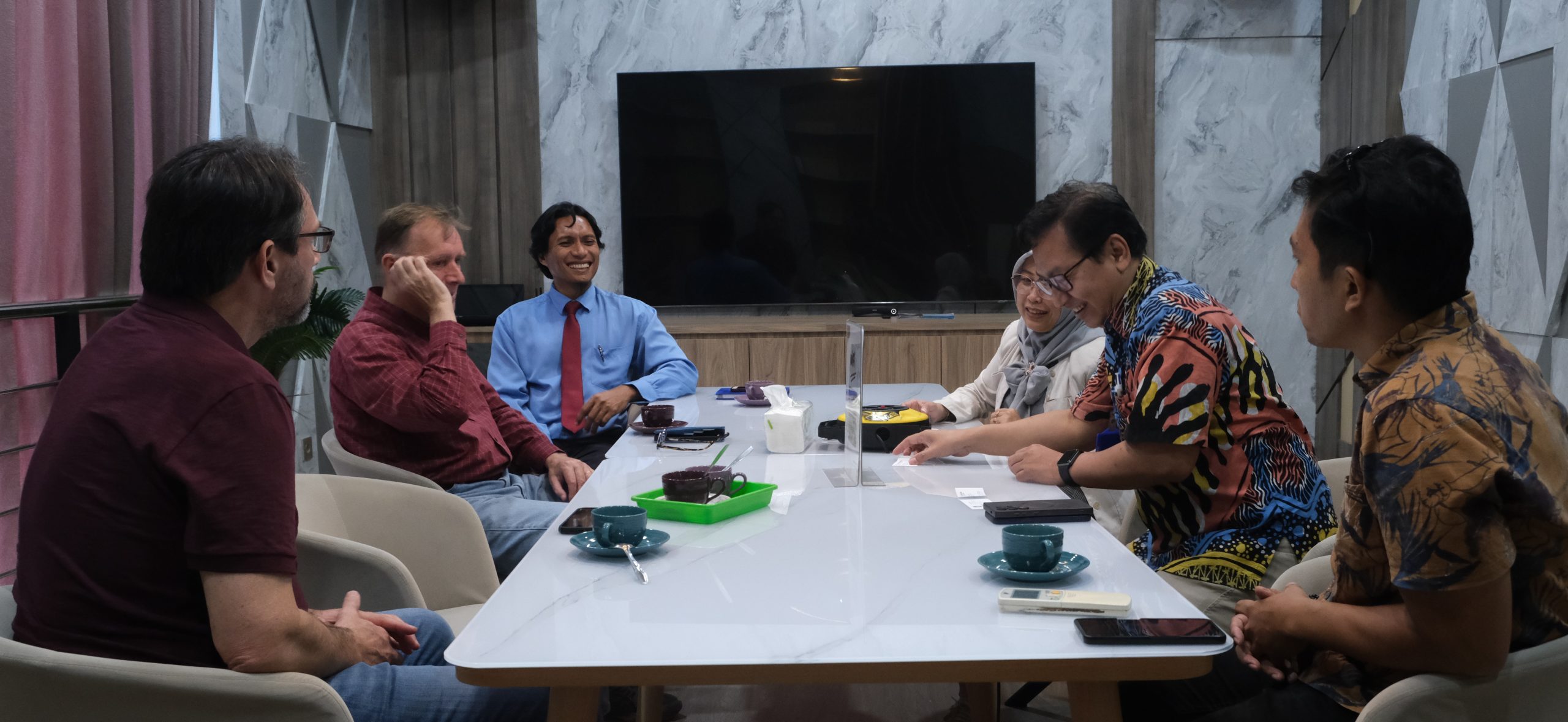
Discussion of World Bank Team with Vice Dean for Academic Affairs and Student Affairs of Faculty of Engineering, UNDIP
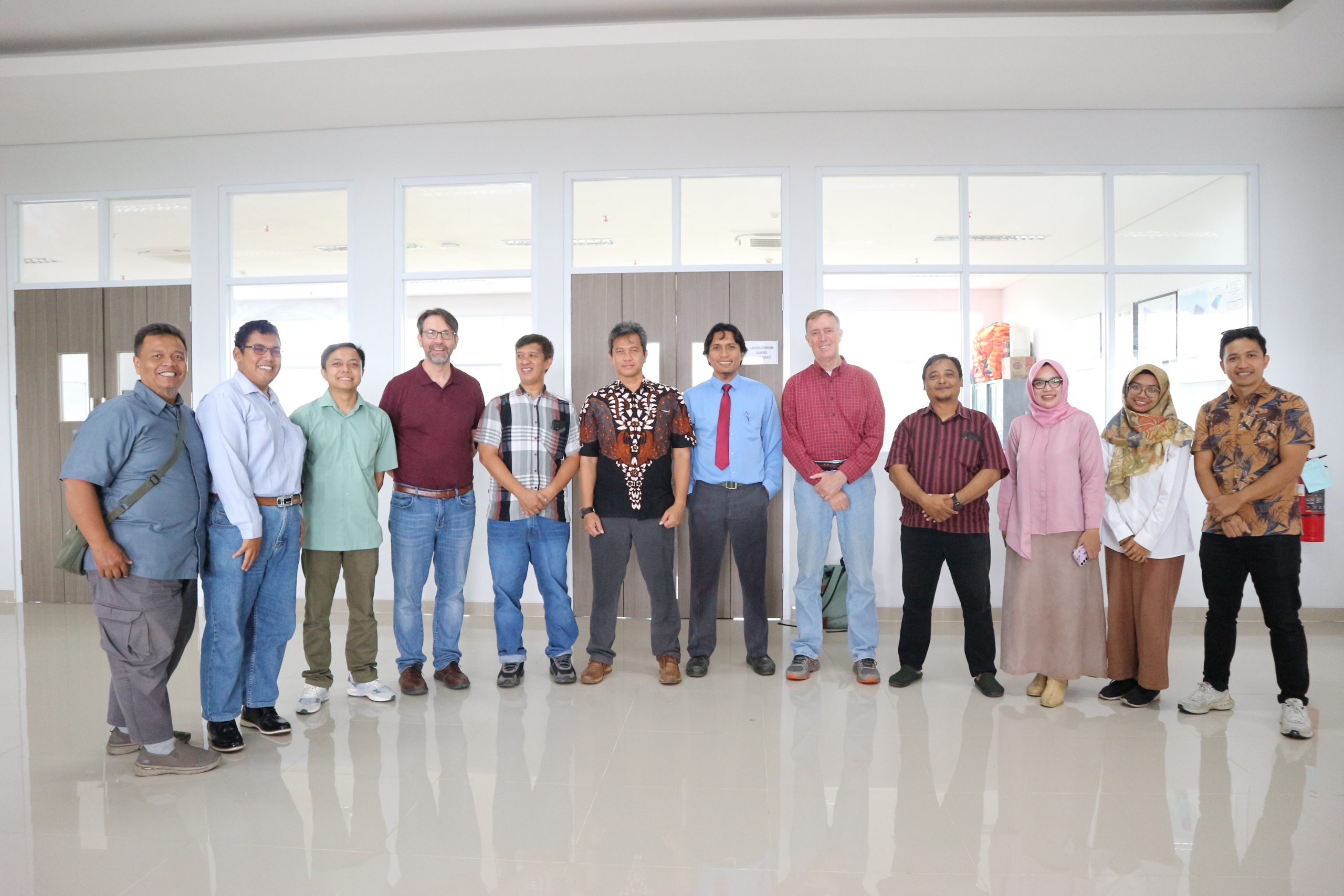
World Bank Team visiting Laboratories of Department of Geodetic Engineering, UNDIP

