In commemoration of the 20th anniversary of the Undergraduate Geodesy Engineering Program at UNDIP, this year’s G-Expo event hosted by the UNDIP Geodesy Engineering Student Association has a special highlight. The event, led by Mas Ammar Zaedan Rizki from the 2021 class, featured Prof. Dr.rer.nat Muh. Aris Marfai, S.Si., M.Sc., as the keynote speaker at the peak of this annual student association event. Known for his warmth and humility, the Head of the Geospatial Information Agency drew a crowd.
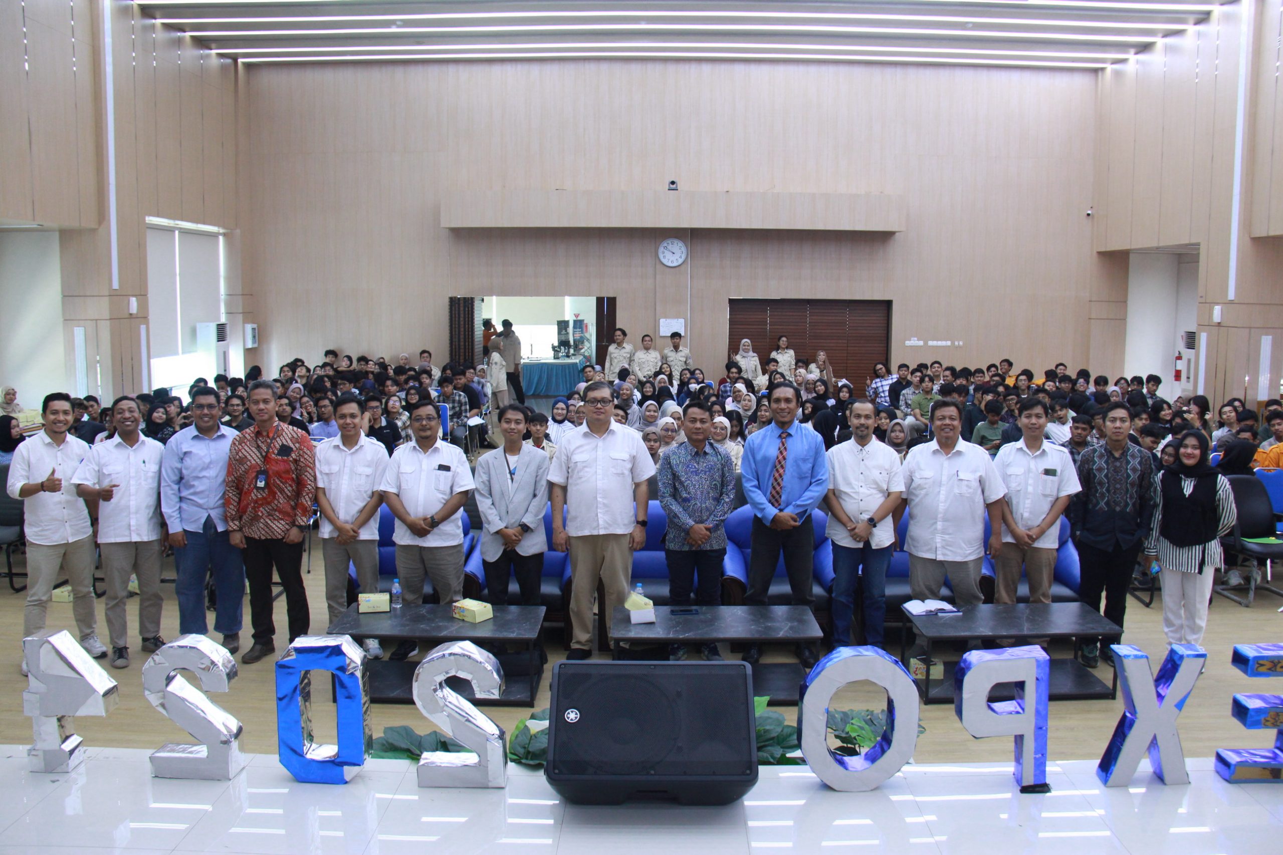
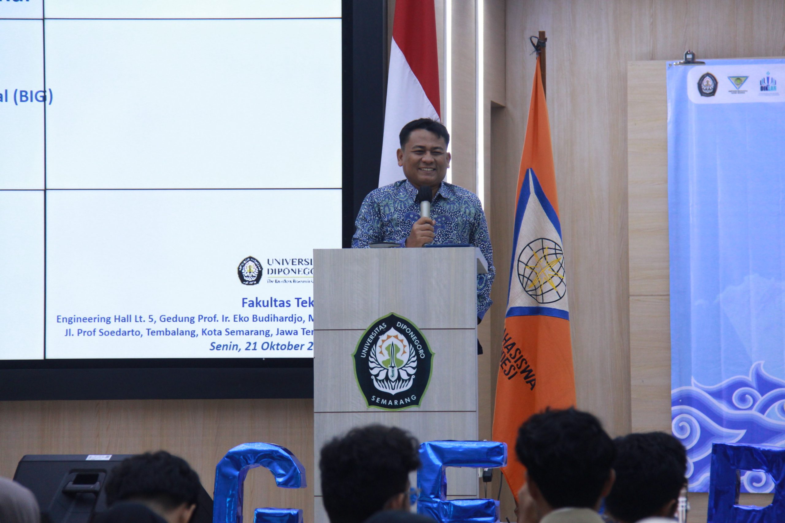
The event took place in the 5th Floor Auditorium of the Prof. Ir. Eko Budihardjo, M.Sc. Building at the Faculty of Engineering, Diponegoro University, and was attended by over 250 students, including Prof. Dr. Adian Fatchur Rochim, S.T., M.T., UNDIP’s Vice Rector for Communications and Business. The program, held on Monday, October 21, 2024, was opened by Dr. L. M. Sabri, S.T., M.T., Head of the Undergraduate Geodesy Engineering Program, who emphasized the importance of students gaining insight into physical and human geography as a complement to the geodesy competencies they acquire during their studies.
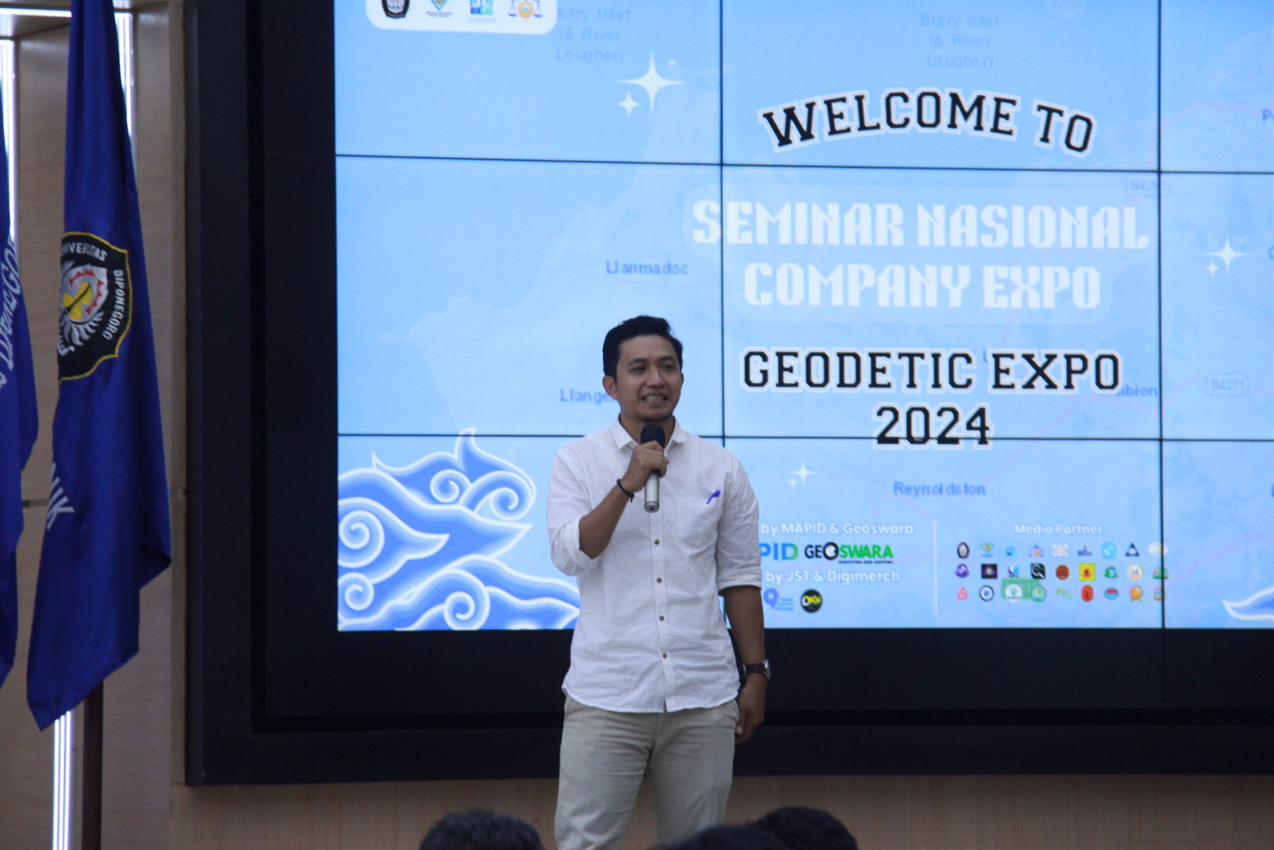
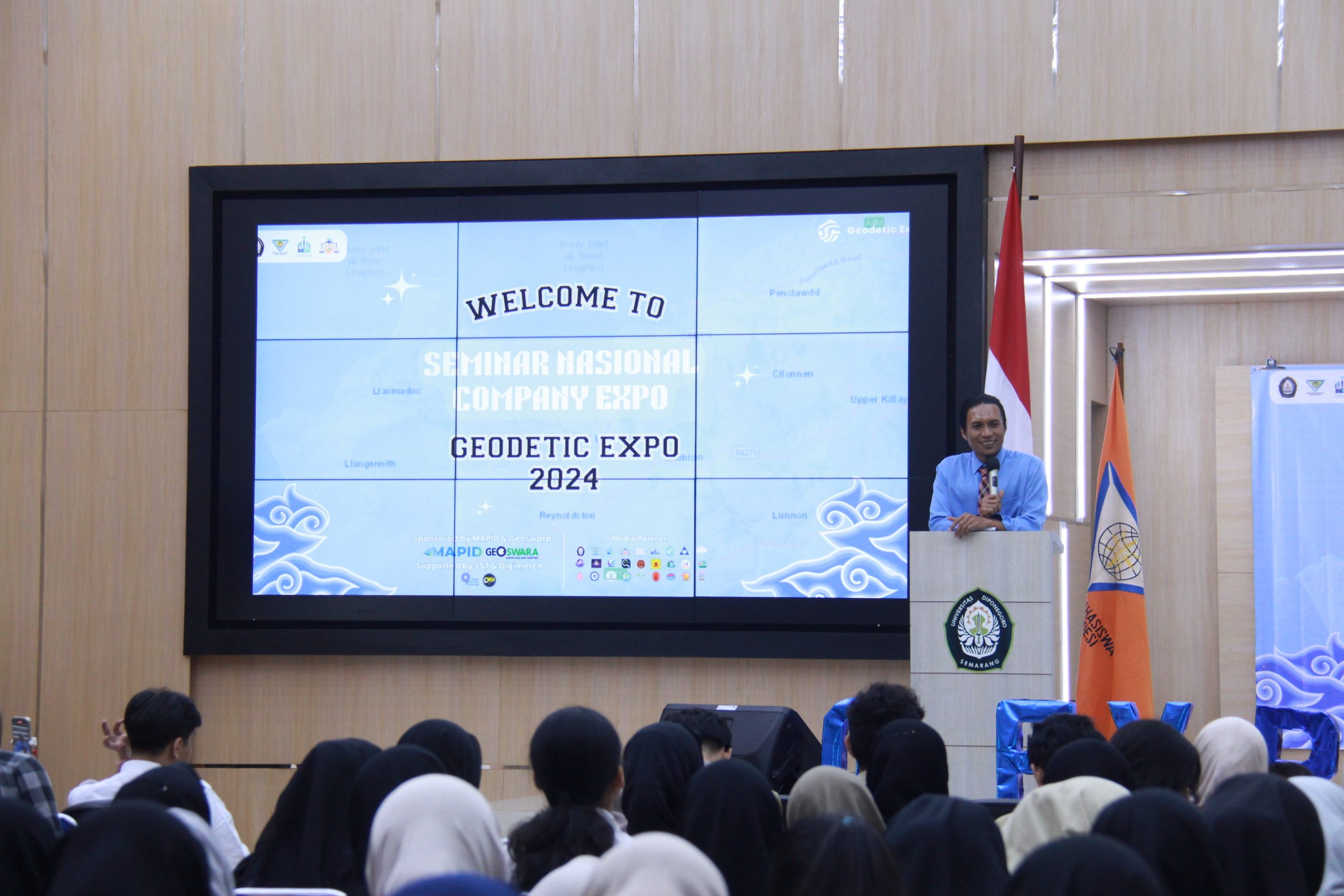
The lecture, titled “Advancements in Geospatial Science and Technology in Accelerating National Strategic Projects,” was especially engaging. Prof. Aris, a close friend of the Faculty of Engineering Dean Prof. Dr. Jamari, S.T., M.T., from their time studying in the Netherlands, shared invaluable experiences from his dual roles as an academic and as the leader of Indonesia’s primary geospatial data and information agency. He provided a straightforward explanation of the division of work between geodesy and geography: “Geodesy is responsible for providing foundational geospatial data and information, including reference points and base maps, while Geography contributes thematic geospatial data and information, based on the foundational geospatial information generated by geodesy,” he stated.
In the closing segment of the lecture, moderated by Dr. Yasser Wahyuddin, S.T., M.T., M.Sc., a smart city enthusiast, Prof. Aris underscored three key areas geospatial professionals must master to remain competitive in the future: “Students must thoroughly understand the aspects of regulation and policy surrounding geospatial data and information, artificial intelligence and computer programming, and the downstreaming of geospatial data and information,” he concluded.